


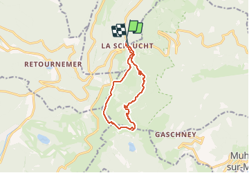
Sentier des roches

delaine
User

Length
11.1 km

Max alt
1352 m

Uphill gradient
503 m
Km-Effort
17.8 km

Min alt
947 m

Downhill gradient
493 m
Boucle
Yes
Creation date :
2020-09-04 07:14:39.105
Updated on :
2020-09-09 05:04:22.723
--
Difficulty : Very easy
4h57
Difficulty : Very easy

FREE GPS app for hiking
 SityTrail
IGN / Geographical institutes
SityTrail Plus
The world is yours!
About
Trail On foot of 11.1 km to be discovered at Grand Est, Vosges, Le Valtin. This trail is proposed by delaine.
Description
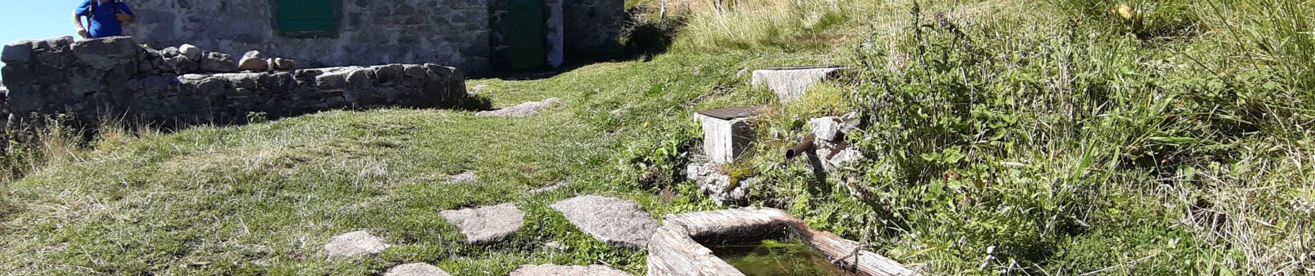
Départ col de la Schlucht. Parcours sportif.
Photos


Positioning
Country:
France
Region :
Grand Est
Department/Province :
Vosges
Municipality :
Le Valtin
Location:
Unknown
Start:(Dec)
Start:(UTM)
352635 ; 5325389 (32U) N.
Comments